Our world is full of magnificent islands. We have the list of 6 largest islands in the world and also 6 But did you know that there are some islands found on maps that are actually non-existent? Those who claimed as discoverers of these islands testified that they have seen them and even landed them. Teams that were assigned to check these assumed lands ended up seeing the wide shores and nothing more, although other declared that they discovered the said islands.
Crocker Land
Same with the Frisland, the Crocker Land is a nonexistent land that was made up by Robert Peary. In 1907, he declared to have found a newly discovered island neighboring Greenland and located at 130 miles (209 km) Cape Thomas Hubbard (northwest) in North Canada, during the first journey in 1906.
Peary called the land the Crocker Land which was named from George Crocker. George Crocker cosponsored his expedition in 1906 for $50k. Robert Peary made up this island because he wanted to ask Crocker for another $50k. Peary talked about this made up island through his book Nearest the Pole. He convinced everyone with his discovery and that was the reason why many explorers were so eager to find the island. It was on Arctic maps from 1910 to 1913. United States got interested in this island. Later on, it was discovered that Croker Land was only Peary’s false story.
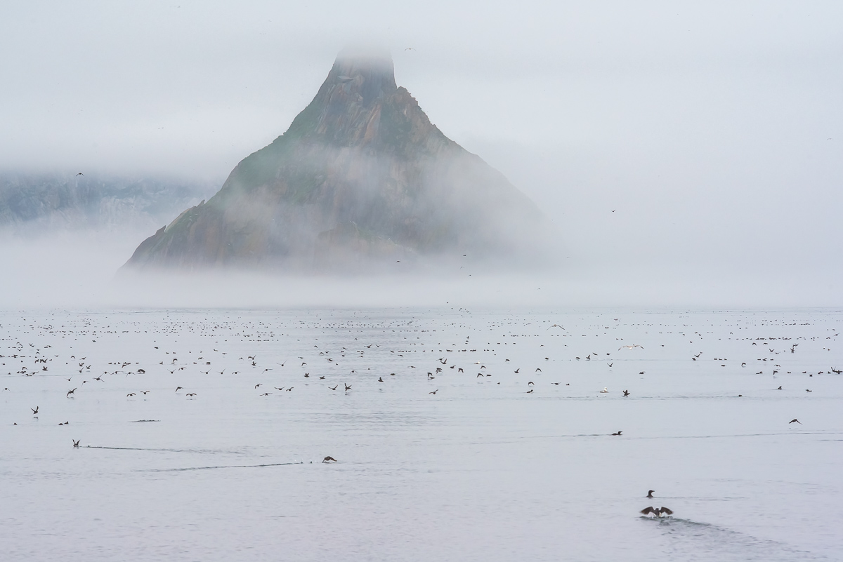
Buss Island
Between the nonexistent Frisland island and Ireland, another nonexistent island was probably located. This is the Buss Island as claimed by Martin Froshiber who also mistakenly identify Greenland as Frisland. It was in 1578.
In 1671, Capt. Thomas Shepard said that he was able to visit this island. This caused England to dispatch teams to check out this location. But they were not able to locate the island. Other than that expedition, there were more expeditions happened but nothing succeeded in discovering or finding it.
Some believed that the island had sunk because it was reported in 1776 that the area was shallow. But it was John Ross’ expedition in 1818 that he discovered that the island’s location was not at all shallow. This nonexistent island still appeared on maps but was later deleted in 19th century.
Frisland
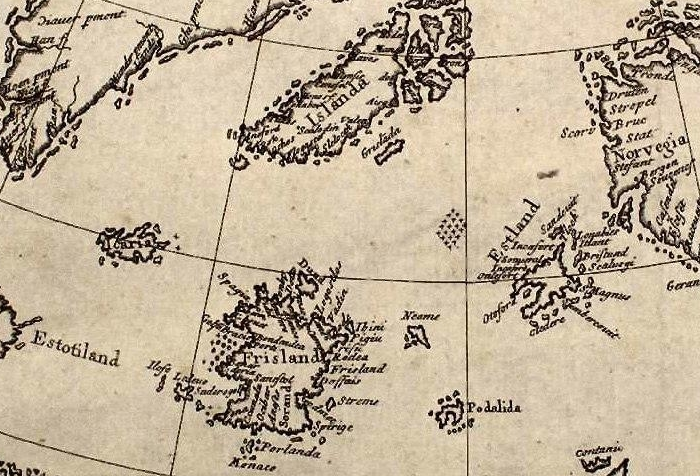
In the 1380s, Frisland was found by Nicolo Zeno’s ancestors named Nicolo and Antonio. Nicolo Zeno from Venice stated that in the year 1558. Zeno also stated that the island is in the south part of Iceland, Estotiland in its west and Norway to the east. Estotiland would have been Labrador or Newfoundland (North America). Would that mean his ancestors entered America prior to Columbus? Zeno pretended the existence of Frisland island for him to become popular.
Frisland Island was seen on a lot of maps. It was announced that it was just a lie during the 19th century, not before some seamen insisted that they saw the island. In 1576, Martin Frobisher mistakenly identified Greenland for Frisland. In 1580, John Dee also insisted it for the country England. In 1989, when a philologist named Giorgio Padoan, insisted that Zeno was speaking only the truth and that these Italians entered New World prior to Columbus.
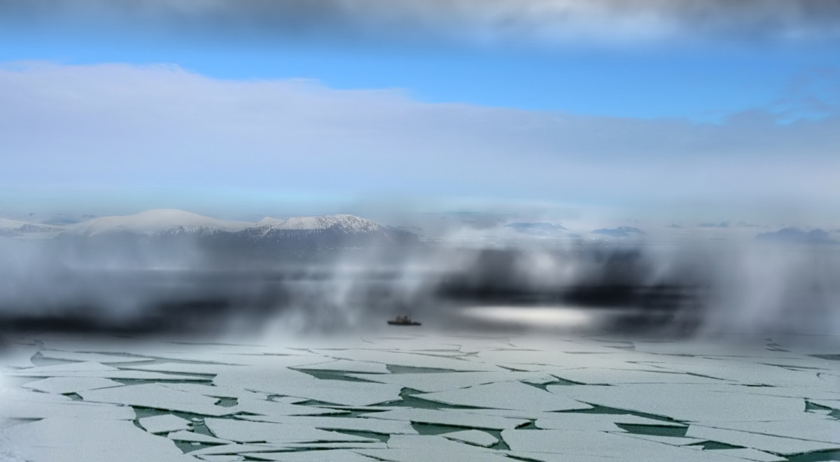
Dougherty Island
It doesn’t matter if other call it Dougherty’s Island because it does not really exist. Daniel Dougherty, a Captain, found it in the far south location of the Pacific Ocean during his journey from the beautiful country of New Zealand going to Canada in the year 1841. The island’s existence was also confirmed by many sailors but not by Captain Scott. He wasn’t able to find it when he tried to visit its assumed location during 1904.
The Sydney Morning Herald of Australia in August 11, 1931 reported that the expedition joint by Australian, New Zealand, and British tried to cross the location but was not able to confirm its existence. It was in 1937 that Dougherty Island was eliminated on maps.
Emerald Island
It was during 1821 when Captain Nockells recognized an island at the south portion of Macquarie Island, also near to Antartica. He called the island after his own ship, Emerald. This Island supposedly disappears and appears. Some teams stated that they saw the land, while others told that they couldn’t see it. Others also stated it moves, the reason why men cannot view it at its assumed location. Some said the island existed but unfortunately has remained sunk due to the seismic motion.
But during 1894, an expedition (going to South Pole by a Norwegian) spotted something and claimed that it is the Emerald island but ended up seeing an iceberg. In 1949, HMNZS Pukaki of the Royal New Zealand Navy also recognized the assumed island but ended up seeing groups of clouds above the water.

Isle of Demons
According to the legend, this island was full of beasts and demons that attacked any human who dared to reach its shores. This island was later deleted on maps ( middle of 17th century) after proven that it does not really exist.